Keweenaw Time Traveler
  • Home
  • ABOUT THE PROJECT
    • About the Data >
      • About the Maps
      • About the Datasets
      • About Sharing Your Stories
    • Behind the Scenes
    • Our Partners
    • Our Funders
    • Meet the Team
    • Citizen Historian Apps
    • Time Traveling Experiences
    • Publications
  • Upcoming Events
  • Project News
  • Help

Walking Through Historic Maps

7/21/2016

0 Comments

 
Have you ever walked through a historic map? Our GRACE interns and Time Traveler team did! We headed out to Lake Linden with 1935 and 1893 maps loaded on tablets and smart phones. As we walked through town, we could track our movement and compare what we could see with what used to be there. We found the Bosch Brewing Co., explored downtown commercial areas, and followed the copper milling process with Michigan Tech Prof. Carol MacLennan. The "Leaching Plant" you see on this map is just one of the many large processing buildings whose concrete footprints are still part of the Lake Linden waterfront park. All our hard work building the Time Traveler will make it possible for anyone to walk through more of the Copper Country's historic maps!   
0 Comments

Teaming up with the GRACE Project

7/15/2016

0 Comments

 
The Keweenaw Time Traveler team welcomes its newest members — 11 local high school students! They come to us through a new partnership with the GRACE Project, an NSF-funded program started at Eastern Michigan University. GRACE is training teachers and students in underserved areas to use GIS technologies and matching them to real-world projects — like the Time Traveler! Our interns have completed initial training in ESRI software and are joining our undergrads in the vital work of identifying thousands of features on historic maps. But we also get outside! Here's a photo of the whole team exploring our landscape. More on that soon... 
Picture
0 Comments

What's a Geocoder?

7/7/2016

0 Comments

 
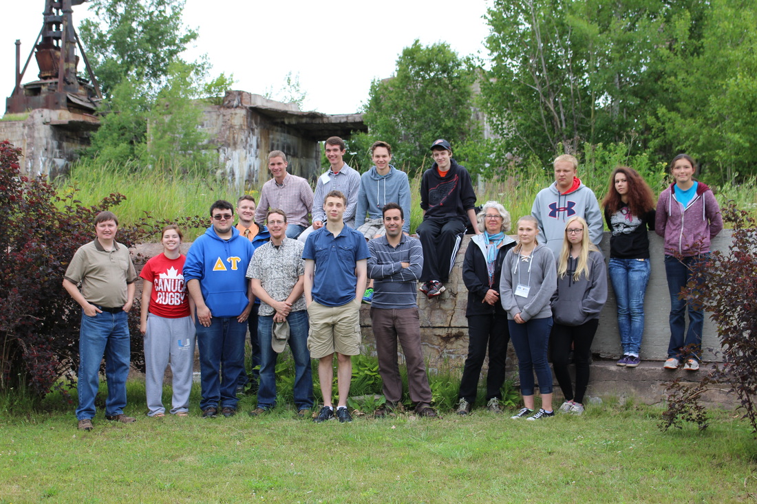
We are making great progress! Our Keweenaw Time Traveler team has finished creating the "geocoder" for 1949. This will allow visitors to automatically map historical information about people, events, and places to the exact location in the Keweenaw around 1949. Look at all the buildings and structures we have outlined! We have scanned and georeferenced more than 1200 maps and located more than 66,500 houses, commercial buildings, theaters, train stations, shaft houses, smelters, mills and other mine locations. We are working quickly on 1942, 1928, and 1917…
0 Comments

    Archives

    December 2022
    November 2022
    October 2022
    September 2022
    July 2022
    June 2022
    May 2022
    April 2022
    January 2022
    December 2021
    November 2021
    October 2021
    August 2021
    June 2021
    May 2021
    April 2021
    March 2021
    February 2021
    November 2020
    October 2020
    September 2020
    August 2020
    July 2020
    June 2020
    May 2020
    April 2020
    March 2020
    February 2020
    January 2020
    December 2019
    November 2019
    September 2019
    August 2019
    July 2019
    June 2019
    May 2019
    April 2019
    March 2019
    February 2019
    November 2018
    October 2018
    September 2018
    August 2018
    July 2018
    May 2018
    April 2018
    March 2018
    February 2018
    January 2018
    December 2017
    November 2017
    September 2017
    August 2017
    July 2017
    June 2017
    May 2017
    April 2017
    March 2017
    February 2017
    January 2017
    December 2016
    September 2016
    August 2016
    July 2016
    May 2016
    April 2016
    March 2016

    RSS Feed

Contact Us​

Picture
Picture
HESA Lab
Picture
  • Home
  • ABOUT THE PROJECT
    • About the Data >
      • About the Maps
      • About the Datasets
      • About Sharing Your Stories
    • Behind the Scenes
    • Our Partners
    • Our Funders
    • Meet the Team
    • Citizen Historian Apps
    • Time Traveling Experiences
    • Publications
  • Upcoming Events
  • Project News
  • Help