|
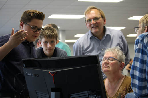
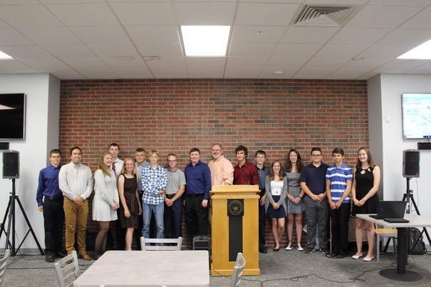
Student interns from Calumet and Houghton High Schools, under the guidance of faculty, staff, and students of the Historical Environments Spatial Analytics Lab and the Keweenaw Time Traveler team recently launched a new WebGIS for the Calumet and Laurium region.
The map can be found at www.calumetmap.com The map integrates information collected by the student interns from 2017 and 2018 and integrates it with state, local, and Keweenaw Time Traveler datasets. The WebGIS is the beginning of a multi-year partnership between many local organizations including MTU Social Sciences, Western UP Planning and Development Region, Keweenaw Economic Development Alliance, Keweenaw National Historical Park, and local municipalities to create a regional GIS for local planning, economic development, heritage management, tourism, and health promotion. The WebGIS is an output of the NSF-funded Innovative Technology Experiences for Students and Teachers, "GRACE- GIS Resources and Applications for Career Education” project. GRACE is a collaboration between MTU's Historical Environments Spatial Analytics Lab, Eastern Michigan University's Institute for Geospatial Research and Education, and Michigan Virtual University, to bring GIS technologies to Michigan’s high school educators and intensive community-based internship experiences to high school students. You can read more about the GRACE Project on our website.
1 Comment
|
|


 RSS Feed


