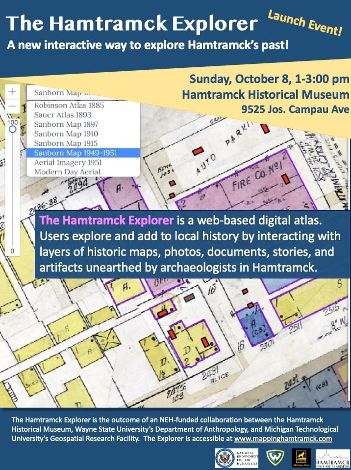
 The Hamtramck Explorer was the central focus of the November Hamtramck Historical Museum newsletter published by Friends of Historical Hamtramck. The November newsletter celebrated the October 8th release of the brand-new digital atlas designed to highlight unique historical sites within the city. Users can click on a site and can see pictures of how it has changed through history while exploring related information and photos. Similar to the Keweenaw Time Traveler, the Hamtramck Explorer is designed to take input from viewers. If you have a photo or memory of the site, it can be added to the site! The Executive Director of the Hamtramck Historical Museum, Greg Kowalski, called for individuals with Hamtramck connections to write down and share their personal memories and experiences. 'It may not seem meaningful at the time,' He writes, 'but it is important. In fact, it is more important than ever... We want to include personal stories linked to the map [Hamtramck Explorer]. This is vital because a city really isn't made of buildings - it is made up of people. The structures are essential but at the same time incidental. It's the people who are the soul of a city. ' If you have stories or memories you would like to share you can share them directly on the Hamtramck Explorer or Send them to the museum either by email - [email protected] - or regular mail at 9525 Jos. Campau, Hamtramck, MI 48212.
0 Comments
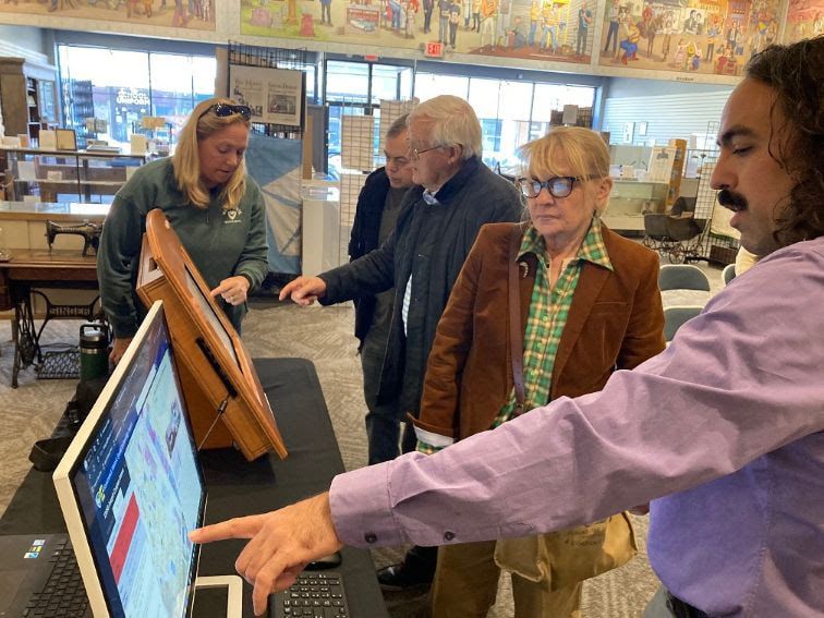
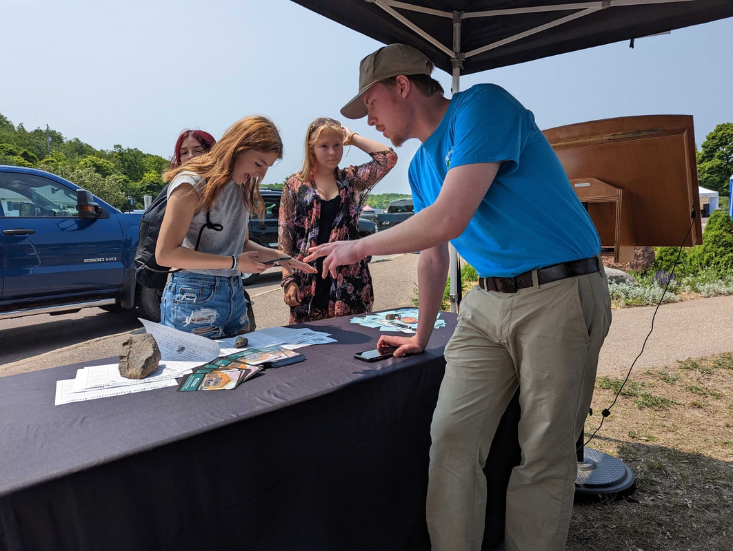
The Keweenaw Time Traveler visits Michigan Archeology Day & Launches the Hamtramck Explorer10/10/2023 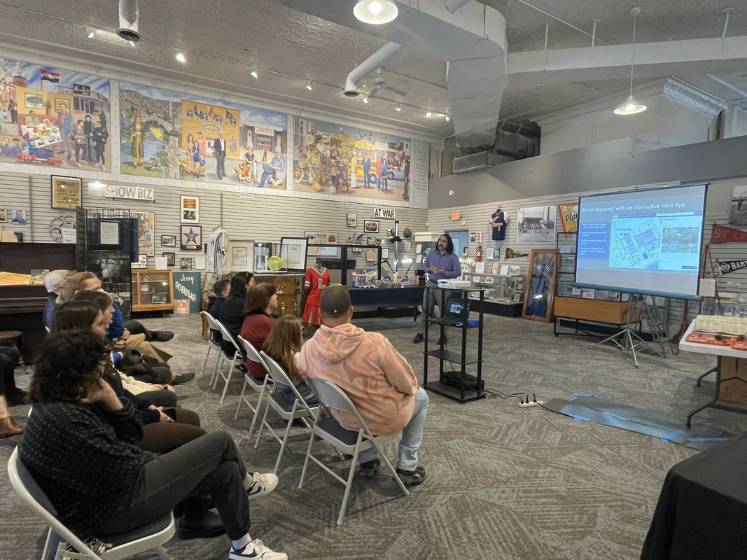 This past Saturday, Michigan Tech Industrial Archaeologist and Time Traveler Team member Dr. Dan Trepal staffed a table at his year’s annual Archaeology Day event, hosted by the Michigan History Center in Lansing. Dr. Dan Trepal showcased the Keweenaw Time Traveler and Michigan Technological University Social Sciences department’s graduate and undergraduate degree programs, and a brand-new project based in Hamtramck. 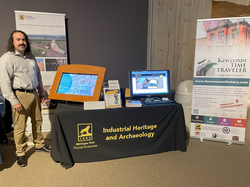 After a great day interacting with visitors in Lansing, Dr. Dan Trepal traveled to Hamtramck the following day to join colleagues from the Hamtramck Historical Museum and Wayne State Anthropology department in launching the Hamtramck Explorer, a new web-based interactive deep map showcasing Hamtramck’s past. Inspired by the success of the Keweenaw Time Traveler, the Hamtramck Explorer is the product of the Hamtramck Historic Spatial Archaeology Project and brings a new perspective through the inclusion in the app of artifacts gathered by Wayne State archaeologists who have been excavating several historical sites in Hamtramck since 2018. The Hamtramck Explorer is now live at www.mappinghamtramck.com. Go check it out! 

The Keweenaw Time Traveler would like to take this opportunity to thank everyone who has made this project possible. Our, current project team members and our time traveler alumni have contributed thousands of hours in the collection, digitization, and linking of historical records that make up our massive database as well as the digitization and referencing of the hundreds of historic maps present on the Keweenaw Time Traveler. This work would not be possible without the generous support of our project funders including the National Endowment for the Humanities, and the Council of Library and Information Resources, as well as support from the Geospatial Research Facility and the Great Lakes Research Center at Michigan Technological University. Of course, none of this would be possible without our heritage partners and the thousands of individuals who use the Keweenaw Time Traveler to explore and share memories of our Copper Country past. Thank you so much for your support!
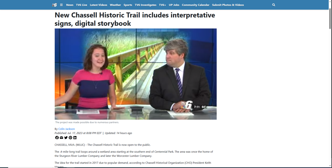 Yesterday TV 6 Reporter Colin Jackson met Dr. Don Lafreniere, Ph.D. Candidate James Juip and Chassell Historical Organization President Keith Meyers to discuss the grand opening of the Chassell Historic Trail. Work on the trail was extensive. It involved historical research and site archeology done by members of the Michigan Technological University Social Sciences Department. Chassell Township School students helped design the interpretive signs based on this research. A generous grant from the John and Melissa Besse Foundation made this work possible.
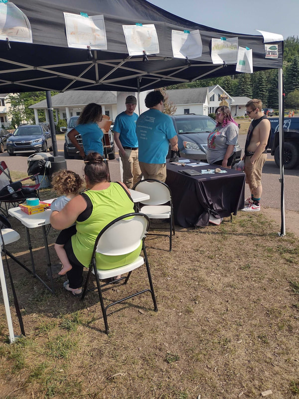
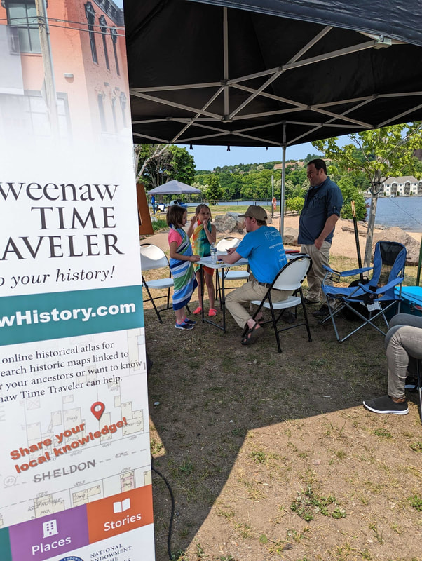
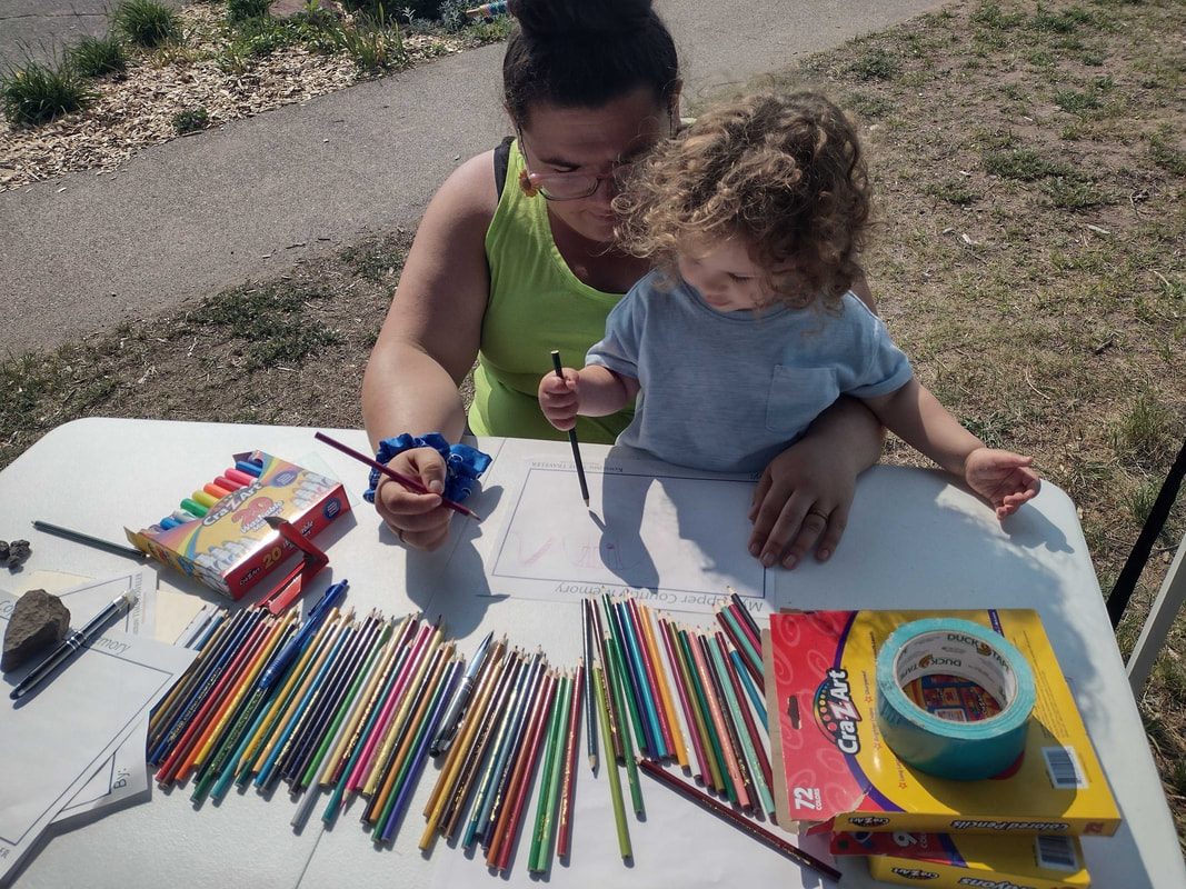
The Keweenaw Time Traveler team created a digital story book to go along with the trail signage. 'Stanley the Strawberry's Great Adventure' is designed to engage young children in the history of the lumber industry in Chassell. In this short children's book Stanley the Strawberry discovers this forgotten past with the help of Sheila the Shingle and friends. The news story on the project was part of the TV6 nightly news broadcast last night and can be viewed here: Chassell Historic Trail now open (uppermichiganssource.com) 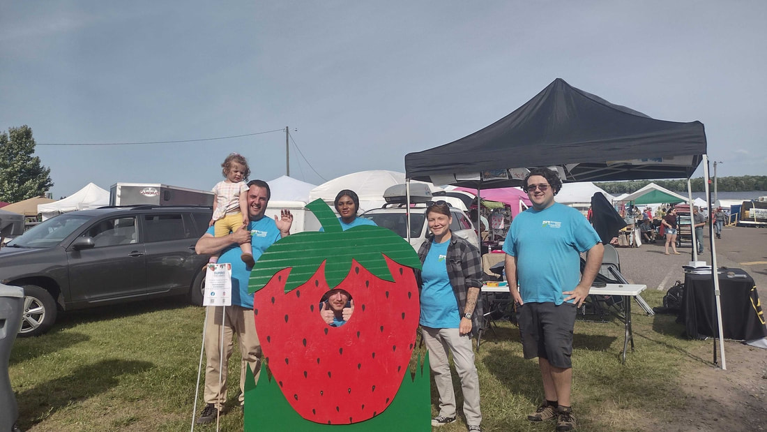 Thank you so much to the Chassell Lions for putting on an amazing Copper Country Strawberry Festival! It was so much fun to meet so many people passionate about our Copper County heritage. Over 500 people stopped by to say hi to the Time Traveler Team over the weekend. We had dozens of people share new stories with us, which you can explore at keweenawhistory.com! 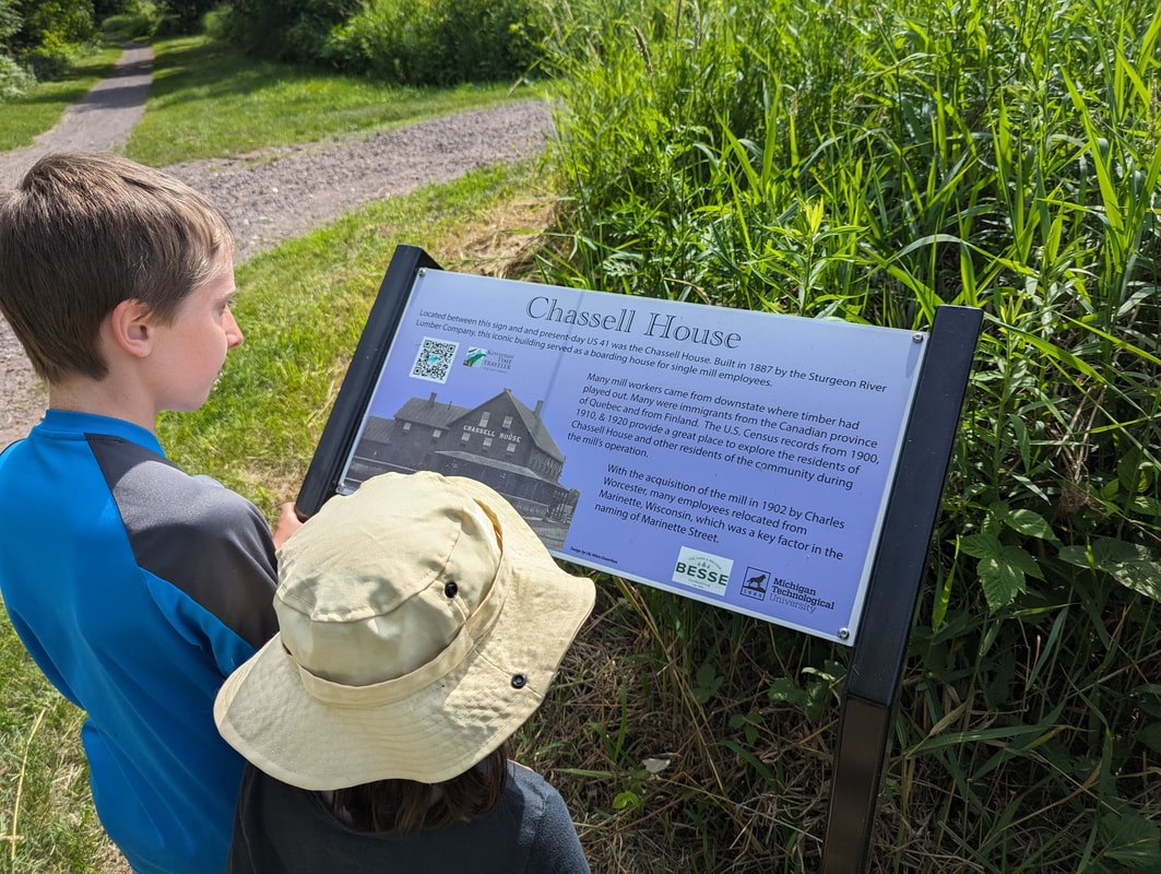 We were also excited to see so many people explore the brand-new trail created by the Chassell Heritage Center! The grand opening for this new trail debuted during the festival and so did our new digital story book. Anyone can now hike the trail and use keweenawhistory.com to follow along on 'Stanley the Strawberry's Great Adventure'. Our collaboration with the Chassell Heritage Center's brand-new trail was a success, creating many new fans of Stanley the Strawberry. We cannot wait to see everyone next year!  Thank you to the 200 people who stopped by our booth to share and learn about our Copper Country Heritage at Bridgefest! We are very lucky to live in such an amazing place with so many great people who are passionate about our community. We also debuted a number of new activities including: 'My Copper Country Memory' where kids of all ages can draw their favorite memory about the Keweenaw and share it with us on the Time Traveler as a StoryPoint! This is especially important as the stories and memories of children often get overlooked as historians collect and share the stories about the past! Come see us throughout the summer as we continue to connect with people to to start conversations about how this region’s industrial past continues to affect our lives and identities today.  Using keweenawhistory.com students at Michigan Technological University raced to find the location of unique places that used to exist across campus. To complete a square students took pictures in the location found in the square. Prizes were awarded to the most bingos completed in an hour as well as the best photo taken during the competition! You can play too! Send us a message at [email protected] if you would like a bingo card and a set of rules you can use to play KeTT Bingo in Houghton, Hancock, Calumet, Laurium, or Lake Linden! Its a fun way to get out enjoy the weather and learn about the history of this great place we call home!
This project has been a major three-year endeavor for a team of researchers in the Michigan Tech Archives, the Geospatial Research Facility, and the Department of Social Sciences. Project leads Sarah F. Scarlett (Social Sciences), Don Lafreniere (Social Sciences and Geospatial Research Facility), and Lindsay Hiltunen (University Archivist) received a grant for $240,012 in January 2020 from the Council on Library and Information Resources (CLIR), a DC-based non-profit whose “Digitizing Hidden Collections” program is made possible with funding from The Andrew W. Mellon Foundation. We brought together a collaborative team across University units with several interrelated and ambitious goals:
After three years, a one-year no-cost extension, countless hours of patient scanning, painstaking transcription, geocoding, record linking, debate about user interface design — all during a global pandemic! — this team is very pleased to announce the successful completion of the Michigan Miners at Home and Work Project! Over the next weeks and months, more Project News stories will appear with in-depth reflections from some of the over 25 student workers who were the heart of this project. Each of these students learned to read cursive (something new to many of them!) and dedicated themselves to deciphering and making sense of the abbreviations used by C&H clerks. They got together on Zoom to share their experiences and lend mutual support during the isolation caused by COVID-19 during 2020 and 2021. Thanks to all of them!
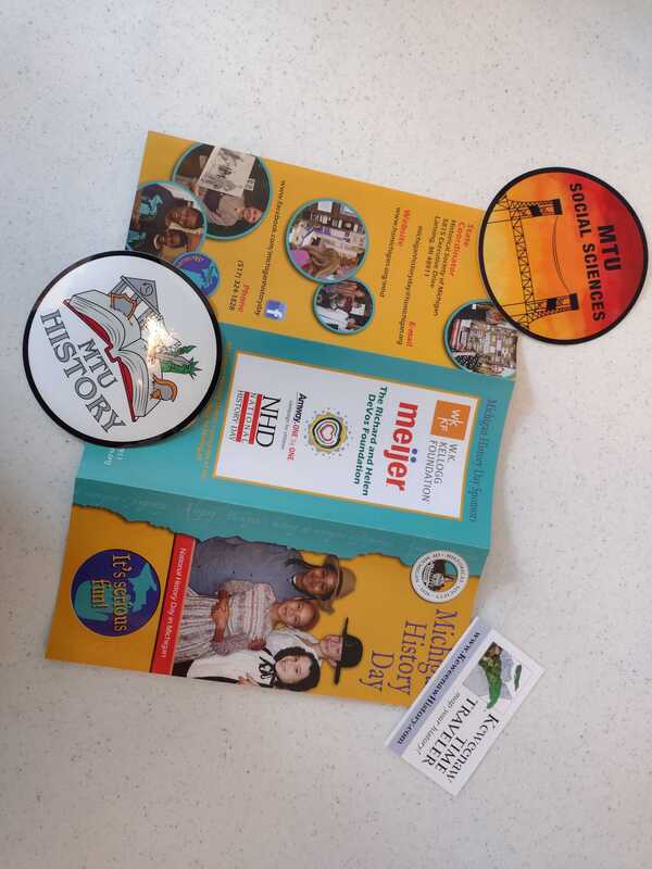
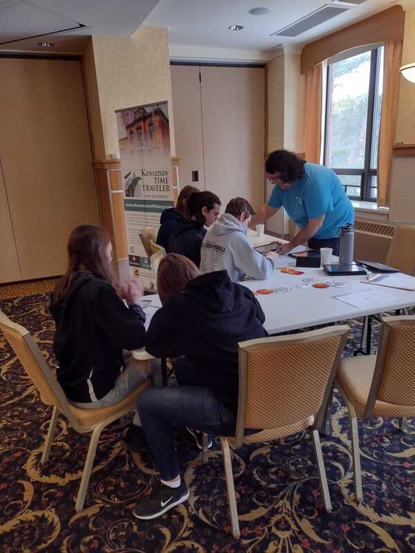
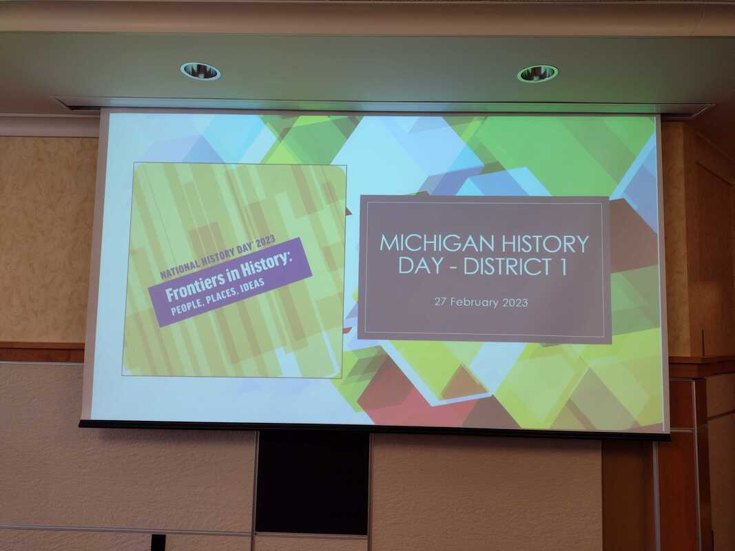 Yesterday, the Michigan History Day District 1 competition was held at Michigan Technological University! High school students from around the Keweenaw presented their amazing work covering unique historical events! Topics included: 'the Implementation of Hockey Helmets', 'The Frontier of Feminist Journalism', 'the Match Girls' Strike', 'The Banana Massacre', 'Title IX: A Frontier for Female Equality', and many others! Students also played some History Bingo using keweenawhistory.com to explore the changing landscape of the Michigan Tech campus! Thank you to the Michigan Tech Department of Social Sciences and the Michigan Tech Archives for such a special day!
|
|


 RSS Feed


