|
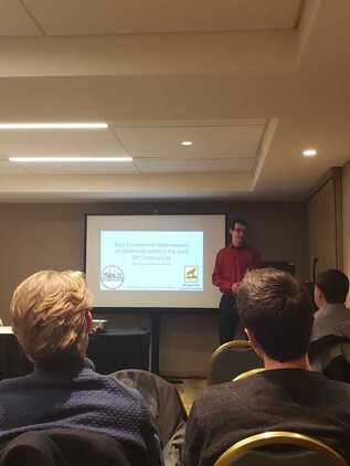
Faculty and students from the Historical Environments Spatial Analytics Lab were well represented at the annual meeting of the Social Science History Association in Chicago this past week.
Tim Stone and Don Lafreniere presented "Built Environment Determinants of Childhood Health in the Early 20th Century City." The paper uses data from the Copper Country Historical Spatial Data Infrastructure (The back end of the Keweenaw Time Traveler) to follow 1600 students in Calumet and Laurium through their daily journey to school and measure the potential risk from industrial activities in the region. Gary Spikberg, Robert Pastel, and Don Lafreniere presented "A Semiautomated approach to Creating Record Linkages and High Resolution Geocoding Across Historical Datasets." This paper outlines the algorithms used to parse and map local city directories. Read more about them here. Dan Trepal and Don Lafreniere presented "Understanding Cumulative Hazards in a Rustbelt City: Integrating GIS, Archaeology, and Spatial History." This paper presents a methodology for modelling industrial hazards across a city. It utilized data from the Imagining London Project Director Don Lafreniere presented "Socio-Spatial Mobility and Urban Environments in the 19th Century City" and participated as a panelist discussing challenges and lessons learned in multi-year historical GIS projects.
0 Comments
Leave a Reply. |
|

 RSS Feed


